I’ve had it up to here with people criticizing Mercator projection. It seems like every few months or so, I find someone decrying Mercator for unrealistically exaggerating the size of the northern latitudes at the expense of equatorial regions, thus promulgating a Eurocentric worldview.
Well I’m here to tell you to cut that shit out.
Mercator is a navigational map, designed to allow plumb lines (sailing courses along a constant bearing) to be represented by straight lines. In a pre-GPS world, this was obviously, in the historical terms of the sailors using it, “the shit.”
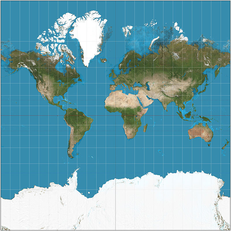
The guy who came up with Mercator Projection, Geradus Mercator, KNEW that his system had flaws. That’s why he also developed an equal-area projection where, guess what? Europe is tiny! I mean, all the continents look squished, California is a detached island, there’s a clear Northwest Passage, and Antarctica has swallowed up Australia and much of the South Pacific, but I don’t hear anyone bitching about that.
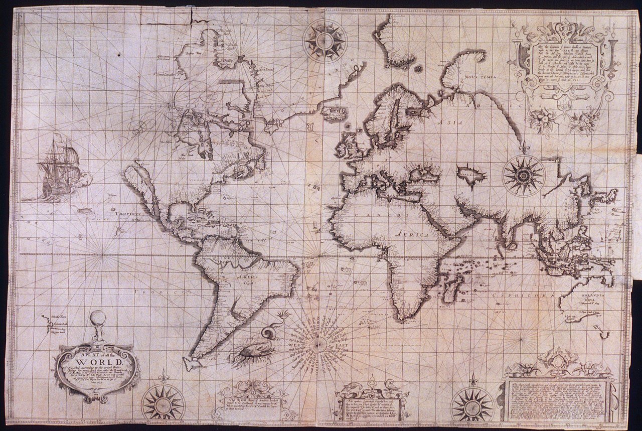
Mercator became popular because the navies and merchant marines of the world could actually USE the damned thing. Sinusoidal and equal-area projections are better representations of the world, but Mercator was a navigational tool.
So everyone, put your map angst to bed and go have fun with a Waterman Butterfly projection. It’s probably the best you can get.
And if any of you want to defend Gall-Peters Projection, then I hate you.
